Ten minutes on a bumboat from Changi Point Ferry Terminal, and the skyline disappears. No towers. No MRT. No malls. Pulau Ubin is a 10-square-kilometer island off Singapore's northeast coast, and it is the closest thing to pre-development Singapore that still exists — a landscape of secondary forest, mangrove swamps, abandoned granite quarries, and a living kampong village where fewer than 40 residents remain.
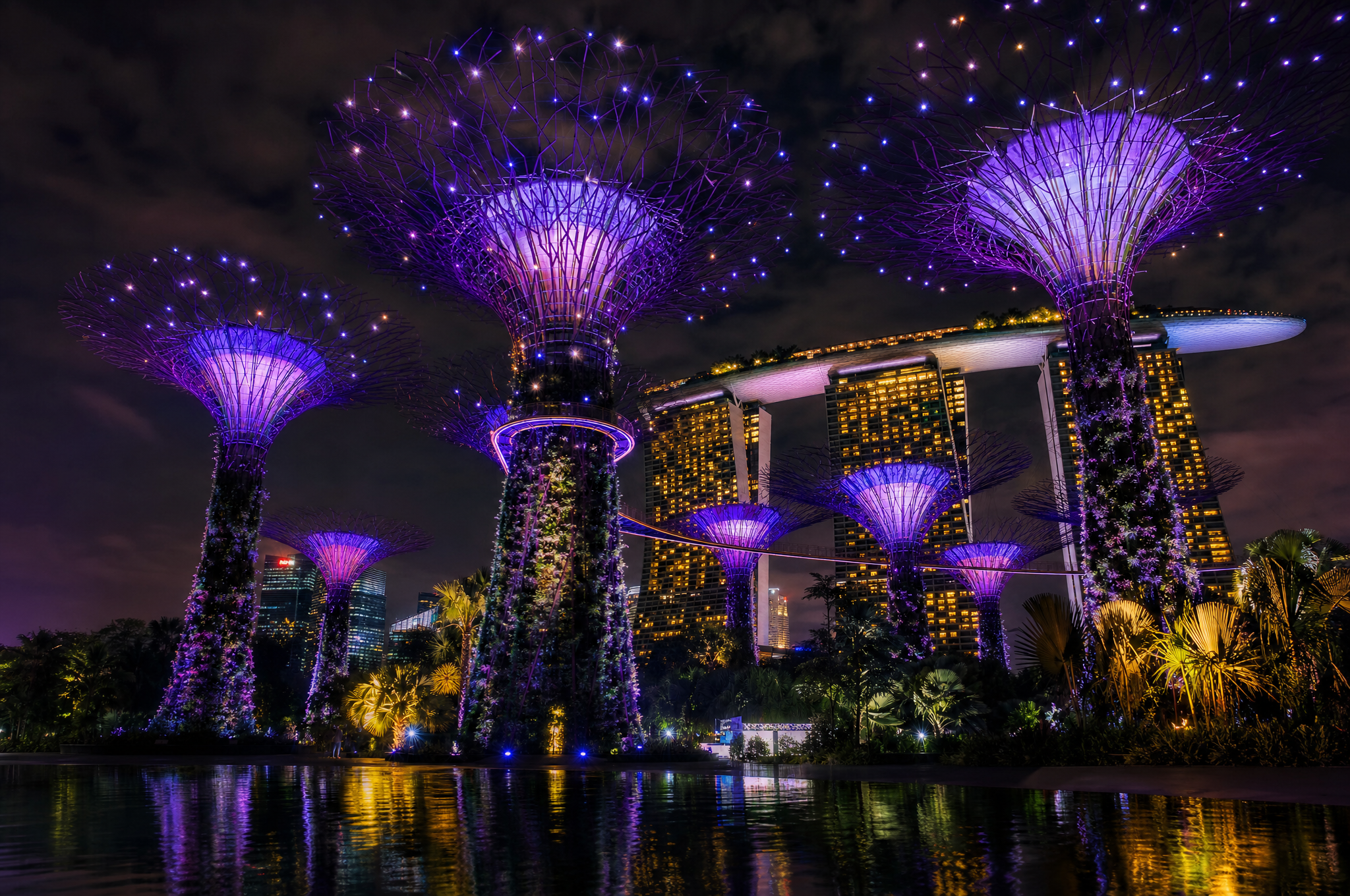
This is not a manicured nature park. It is not Gardens by the Bay. It is rough, hot, and quiet. And it is the most photographically distinct location in Singapore — a place where the country's rapid modernization is paused, perhaps permanently, perhaps not.
Getting There: The Bumboat Ritual
The journey to Pulau Ubin begins at Changi Point Ferry Terminal, a small jetty near Changi Village. Bumboats — small wooden ferries that have been running this route for decades — depart when they have 12 passengers, at a cost of $4 per person ($3 on weekdays). The ride takes 10–15 minutes across the Serangoon Harbor.
For photographers, the bumboat ride is itself a subject. The harbor views — Changi Beach receding, the Ubin shoreline approaching, the open water in between — are a transitional space between two versions of Singapore. Shoot from the boat's open sides, but keep your gear protected from salt spray.
The boat operates from roughly 6:00 AM to 8:00 PM, with no fixed schedule. It leaves when full. On weekdays, you may wait 30 minutes for enough passengers. On weekends, boats leave every 10–15 minutes. Bring cash — the terminal does not accept cards.
What to Photograph on Pulau Ubin
1. The Kampong Village
The island's main settlement — a cluster of wooden houses along a single road — is where you arrive and where most of the remaining residents live. The houses are traditional Malay-style kampong architecture: raised timber structures with attap or zinc roofs, open verandas, and gardens growing fruit trees and vegetables. This architectural style, once common across Singapore, has been almost entirely replaced by HDB housing on the mainland. Ubin is one of the last places to photograph it in its original context.
Approach: The village is small and walkable. The residents are accustomed to visitors but are not performers — they're living their lives. Photograph the houses, the gardens, the paths between them. If residents are outside and you want to photograph them, ask. Many are friendly and willing to chat about island life. Some run small businesses — bicycle rental, drinks stalls, seafood restaurants — and are happy to be photographed in that context.
2. The Abandoned Granite Quarries
Pulau Ubin's granite was quarried for decades — the stone was used in early Singapore construction, including the Horsburgh Lighthouse and some of the causeway to Johor. The quarries are now abandoned and flooded, creating deep blue-green pools surrounded by cliff faces and secondary forest. There are several quarry sites on the island, but the most accessible are:
- Pekan Quarry: Closest to the village, with a viewing platform. The flooded quarry reflects the sky and surrounding trees, creating mirror-like compositions.
- Ketam Quarry: Larger and more dramatic, with higher cliff walls. Accessible via the Ketam Mountain Bike Park trail.
- Ubin Quarry: Along the main road to Chek Jawa. Smaller but less visited, with cleaner sightlines.
The quarries are best photographed in the early morning or late afternoon, when the low sun angle lights the cliff faces and the water is calm enough for reflections. Midday light is harsh and kills the reflections. A polarizing filter helps manage the glare on the water surface and brings out the colors of the cliff rock.
3. Chek Jawa Wetlands
The island's most ecologically significant area, Chek Jawa is a intertidal flatland where six different ecosystems — coastal forest, mangrove, rocky shore, sandy shore, seagrass lagoon, and coral rubble — meet in a single kilometer of shoreline. It's accessible via a 1.5-kilometer boardwalk and a 20-meter observation tower (Jejawi Tower).
The boardwalk: The elevated wooden boardwalk through the mangroves is the primary photographic subject. The path curves through the trees, with filtered light creating dappled patterns on the walkway. Shoot along the boardwalk's length to capture the vanishing-point perspective through the mangroves.
Jejawi Tower: The observation tower at the edge of the coastal forest offers a panoramic view of the entire Chek Jawa wetland — the mangroves, the seagrass meadow, and the open sea beyond. It's the best single vantage point on the island for landscape compositions. Shoot wide (16–24mm) from the top of the tower.
Tidal Timing for Chek Jawa
Chek Jawa's intertidal flats are only exposed at low tide. At high tide, the entire flatland is underwater and the ecosystem is invisible. Check the tide tables before your trip — the Singapore tide charts are available from the Maritime and Port Authority. Plan to arrive at Chek Jawa during a falling tide, 1–2 hours before low tide, for the best viewing and photography of the exposed flats.
4. The Mangrove Boardwalk
Beyond Chek Jawa, the island has other mangrove areas accessible via less formal paths. The mangrove ecosystem — with its aerial roots, mudflats, and dense canopy — is photographically rich. The roots create abstract patterns against the mud, the canopy filters light into green-gold beams, and the stillness of the water creates reflections.
Mangrove photography rewards patience. The light changes slowly as the sun moves through the canopy. Wait for moments when a beam of light reaches the water surface or the roots, creating a spot of brightness in the otherwise dim environment. A tripod is useful here — the light is low enough that hand-held shooting requires high ISO.
5. The Bicycles and the Roads
Most visitors to Pulau Ubin rent bicycles at the village and ride the island's network of unpaved roads and trails. The bikes themselves are photographic subjects — old, simple, often rusted mountain bikes lined up at rental stalls. The roads they travel — red laterite paths through secondary forest — are visually distinctive and unique to Ubin within Singapore.
Shoot the roads as landscape subjects: a red path curving into green forest, dappled with light. A 50mm lens compresses the trees on either side and emphasizes the road's line. Shoot from a low angle to make the road surface a foreground element.
Practical Guide
Time needed: A full day. The bumboat ride, village exploration, Chek Jawa walk, and quarry visits take 5–7 hours. Rushing defeats the purpose — Ubin rewards slow exploration.
Best time to go: Weekday mornings, arriving on the first or second bumboat (6:30–7:30 AM). You'll have the island nearly to yourself. Weekends bring crowds — particularly cyclists and day-trippers — that change the island's character.
Weather: Check the forecast. Ubin has almost no shelter — a thunderstorm on the island means waiting it out under a tree or in the village. Singapore's lightning alerts should be taken seriously; open areas like the Jejawi Tower are dangerous during lightning. See our rainy season photography guide for monsoon timing.
Gear: A single camera with a versatile zoom (24–105mm equivalent) covers most situations. A wide-angle lens (16–24mm) for the quarries and tower views. A polarizing filter for the water and foliage. Bug repellent — the mosquitoes on Ubin are aggressive. Sun protection — there is very little shade on the quarry roads.
Food and water: Bring water — at least 2 liters per person. The village has a few stalls selling drinks and simple food, but they have irregular hours. Pack snacks. The seafood restaurants on the island are good but operate on island time — don't rely on them for a quick lunch.
Why Pulau Ubin Matters Photographically
Singapore is a country that demolishes its past faster than most. In 60 years, it has transformed from a colonial port of kampongs and rainforest to a global city of glass and steel. Pulau Ubin is the exception — a piece of the old Singapore that, through a combination of geography, policy inertia, and ecological significance, has survived.
Photographically, this makes Ubin uniquely valuable. The images you make here document a landscape that exists nowhere else in the country. The kampong houses, the granite quarries, the mangrove flats, the red laterite roads — these are the visual textures of pre-1960s Singapore, preserved on an island that most visitors to the country never see.
But Ubin is not frozen. The resident population declines every year — from several thousand at its peak to fewer than 40 today. The buildings decay. The forest reclaims. Each visit produces different photographs than the last, because the island is in a slow process of disappearance. Document it while it's still here.
For a completely different Singapore landscape — engineered, designed, and luminous rather than wild and forgotten — see our guide to Gardens by the Bay at night. The contrast between the two represents the full spectrum of Singapore's relationship with nature.